Covering an aviation story? You can use Squawk screenshots, our X posts and our bot cards in your coverage. Please credit via Squawk (getsquawk.app).
Squawk is a live flight-tracking app for iPhone, built for plane spotters and military-aviation watchers. It shows the airliners, general aviation, helicopters and military aircraft that community ADS-B receiver networks can see, on a live map with altitude-colored trails. It can also send a push alert when an aircraft enters an area you choose, when aircraft depart a military base you watch, when a rare airframe passes nearby, or when an aircraft declares an emergency. Its X account, @UseSquawk, posts emergency squawks and notable flights as they happen.
Every count Squawk shows is of aircraft tracked on ADS-B. Many military aircraft fly with their transponder broadcast off or filtered, so they never appear. A Squawk count of 12 tankers means 12 were tracked on ADS-B, not that only 12 were flying. Positions come from volunteer receivers, so coverage has gaps over oceans and remote areas.
You may use screenshots of the Squawk app, posts from @UseSquawk and the bot's map cards in news coverage, articles, broadcasts and social posts, free of charge. Embed X posts with X's own embed tool. Please include this credit line:
via Squawk (getsquawk.app)
Please don't crop out the map attribution, alter what a screenshot shows or imply Squawk endorses your story. Map tiles keep their own credits (shown in the app).
 App icon · PNG 1024×1024
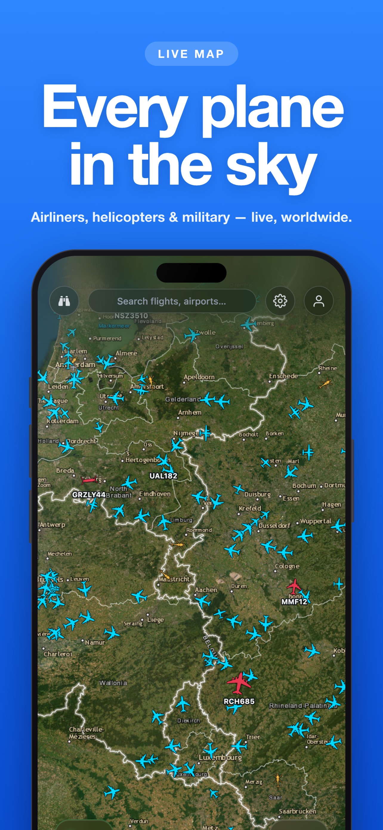 Live map · JPG 1284×2778
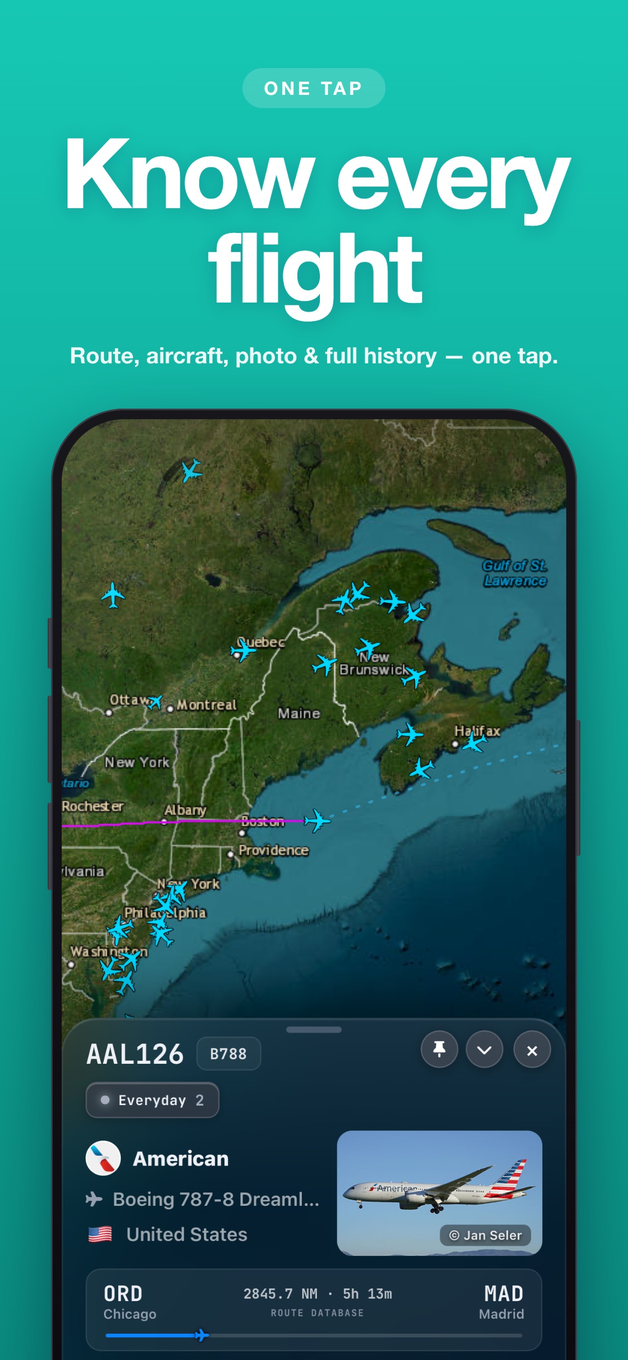 Aircraft detail · JPG 1284×2778
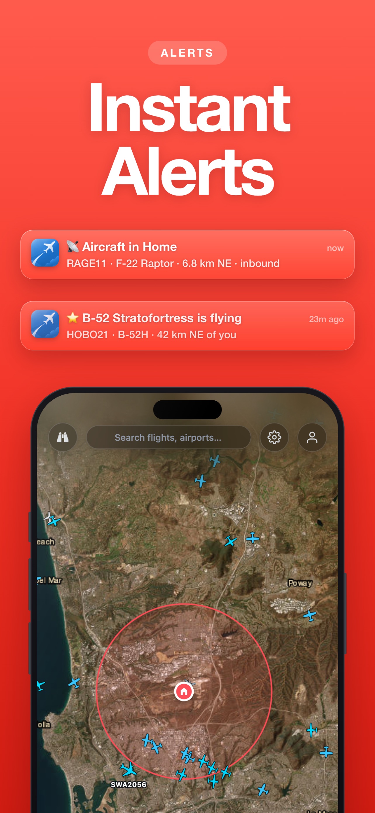 Alerts · JPG 1284×2778
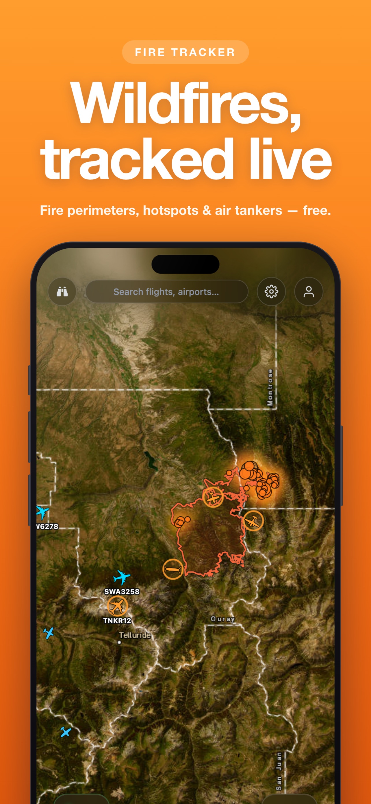 Wildfire layer · JPG 1284×2778
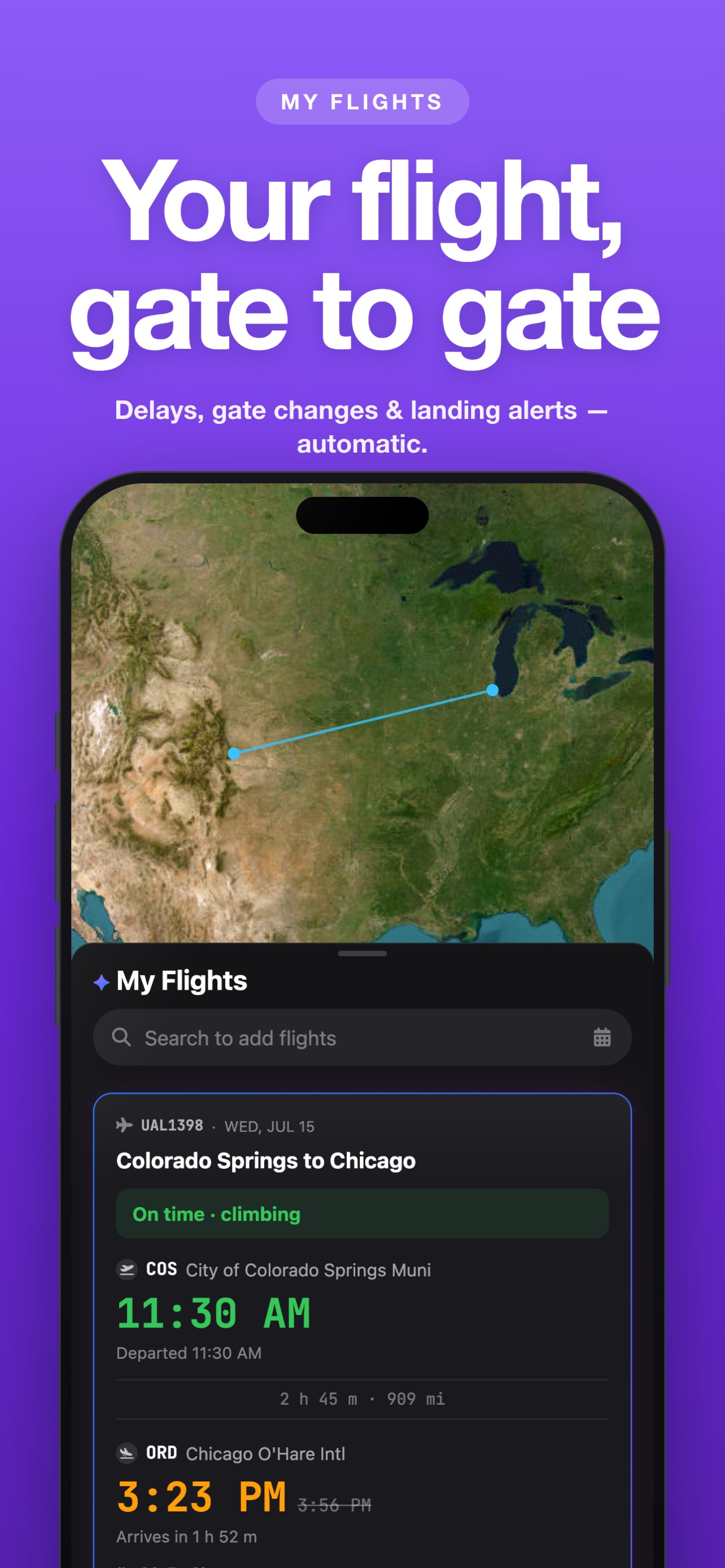 My Flights · JPG 1284×2778
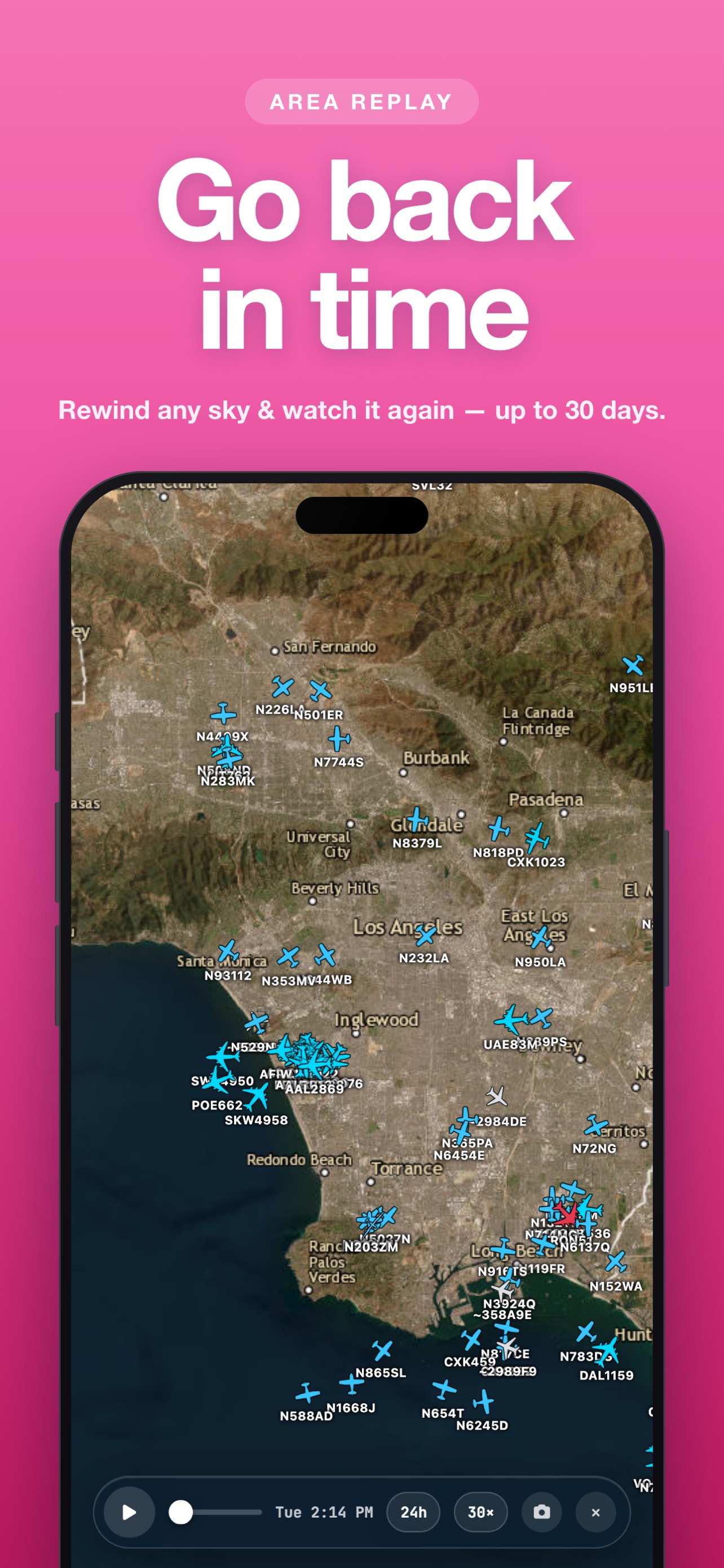 Area replay · JPG 1284×2778
For interviews, data questions or a higher-resolution asset, email support@getsquawk.app.
Squawk is the live flight tracker for people who look up — free on iPhone, with alerts that reach your Lock Screen even when the app is closed.

 Scan with your iPhone camera
 SQUAWKSquawkLive flight tracker · Free on iPhoneGet